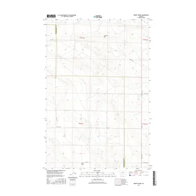
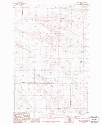
2017 Map of Emory School
USGS Topo · Published 2017About this map
Emory School stands as a focal point in this high plains landscape on the border of Golden Valley and Musselshell counties. The terrain is defined by dry coulees and isolated landmarks like Steamboat Rock, which rises above the surrounding sections of the Public Land Survey System. The area's hydrology is marked by the seasonal flow of Cameron Cr and the presence of Sulfur Springs to the east. A network of rural routes, including Timber Buttes Rd and Emory Rd, connects remote ranchlands and homesteads across the township lines of T9N and T10N. This survey documents the intersection of essential community infrastructure and a topographical environment shaped by watercourses like Spring Coulee.
Find a feature on this map
16 named features on this map. Tap any name to fly to it.
Don’t see what you’re looking for? This feature index may not catch every label — zoom into the map to look around manually.
Map Details
Editions of this 2017 Emory School Map
This is the sole edition of this map. No revisions or reprints were ever made.
Other maps of this area
1889 · Big Snowy Mountain
USGS Topo · 1:250,000
1893 · Big Snowy Mountain
USGS Topo · 1:250,000

1954 · Roundup
USGS Topo · 1:250,000

1958 · Roundup
USGS Topo · 1:250,000
1979 · Roundup
USGS Topo · 1:100,000
1979 · Lavina NW
USGS Topo · 1:24,000
1979 · Timber Buttes South
USGS Topo · 1:24,000
1986 · Devils Hole Lake
USGS Topo · 1:24,000
1986 · Pender Coulee
USGS Topo · 1:24,000
1986 · Emory School
USGS Topo · 1:24,000