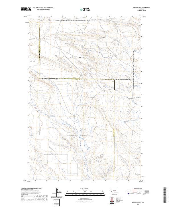
2024 Map of Emory School
USGS Topo · Published 2024About this map
Steamboat Rock serves as a prominent landmark in this segment of central Montana, where the terrain transitions between the open prairie and the rising slopes of the Timber Buttes. The landscape is defined by the drainage of Cameron Creek, which meanders through the central and southern portions of the map, and the presence of Sulfur Springs to the north. This area spans the border of Musselshell and Golden Valley counties, illustrating a rural network of named routes including Emory Rd and Pole Creek Rd. The road names often reflect local topography and land use, such as Lewis Hill Rd and Golf Course Rd, indicating the intersection of historical cattle country and modern recreational development. For researchers, the map provides a clear view of how these surveyed townships and range lines have shaped the division of the Big Sky landscape.
Find a feature on this map
15 named features on this map. Tap any name to fly to it.
Don’t see what you’re looking for? This feature index may not catch every label — zoom into the map to look around manually.
Map Details
Editions of this 2024 Emory School Map
This is the sole edition of this map. No revisions or reprints were ever made.
Other maps of this area

1889 · Big Snowy Mountain
USGS Topo · 1:250,000

1893 · Big Snowy Mountain
USGS Topo · 1:250,000

1954 · Roundup
USGS Topo · 1:250,000

1958 · Roundup
USGS Topo · 1:250,000

1979 · Roundup
USGS Topo · 1:100,000

1979 · Lavina NW
USGS Topo · 1:24,000

1979 · Timber Buttes South
USGS Topo · 1:24,000

1986 · Devils Hole Lake
USGS Topo · 1:24,000

1986 · Pender Coulee
USGS Topo · 1:24,000

1986 · Emory School
USGS Topo · 1:24,000