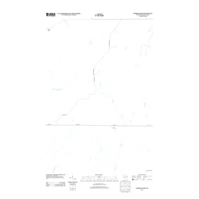
2013 Map of Empire Swamp
USGS Topo · Published 2013About this map
The Upper Tamarack River and a network of northern streams define this portion of Douglas County, Wisconsin. This landscape is characterized by its drainage systems, including the southward-flowing Crotte Cr and the winding course of Sheosh Cr. The presence of the Summit Lookout Tower in the northwest corner highlights a high point in the terrain, suggesting a focus on forest observation and management within this wooded expanse.
Find a feature on this map
12 named features on this map. Tap any name to fly to it.
Don’t see what you’re looking for? This feature index may not catch every label — zoom into the map to look around manually.
Map Details
Editions of this 2013 Empire Swamp Map
This is the sole edition of this map. No revisions or reprints were ever made.
Other maps of this area

1945 · Solon Springs
USGS Topo · 1:48,000

1947 · Minong
USGS Topo · 1:48,000

1949 · Solon Springs
USGS Topo · 1:48,000

1949 · Minong
USGS Topo · 1:48,000

1949 · Webb Lake
USGS Topo · 1:48,000

1949 · Patzau
USGS Topo · 1:48,000

1953 · Ashland
USGS Topo · 1:250,000

1953 · Duluth
USGS Topo · 1:250,000

1954 · Amnicon Lake
USGS Topo · 1:24,000
1954 · Patzau
USGS Topo · 1:24,000