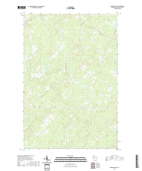
2022 Map of Empire Swamp
USGS Topo · Published 2022About this map
Empire Swamp dominates the drainage patterns of this Douglas County landscape, where the headwaters of the Upper Tamarack River wind through a complex system of low-lying wetlands. The terrain is characterized by a sparse road network, reflecting the preservation of this interior hydrological basin. Small tributaries like Bear Cr feed into the larger river systems, defining the slow-moving water flow across the quadrangle. This 2022 survey captures the modern state of the northern woods and bogs, providing a precise record of the current watercourses and topographical contours within the Empire Swamp region. The absence of dense settlement highlights the environmental character of the area, making it a point of interest for those studying the persistent natural geography of the Wisconsin borderlands.
Find a feature on this map
3 named features on this map. Tap any name to fly to it.
Don’t see what you’re looking for? This feature index may not catch every label — zoom into the map to look around manually.
Map Details
Editions of this 2022 Empire Swamp Map
This is the sole edition of this map. No revisions or reprints were ever made.
Other maps of this area

1945 · Solon Springs
USGS Topo · 1:48,000

1947 · Minong
USGS Topo · 1:48,000

1949 · Solon Springs
USGS Topo · 1:48,000

1949 · Minong
USGS Topo · 1:48,000

1949 · Webb Lake
USGS Topo · 1:48,000

1949 · Patzau
USGS Topo · 1:48,000

1953 · Ashland
USGS Topo · 1:250,000

1953 · Duluth
USGS Topo · 1:250,000

1954 · Amnicon Lake
USGS Topo · 1:24,000
1954 · Patzau
USGS Topo · 1:24,000