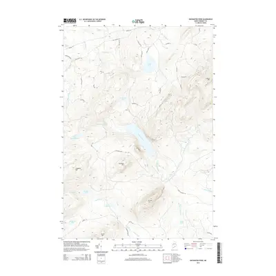
2014 Map of Enchanted Pond
USGS Topo · Published 2014About this map
Enchanted Pond and the surrounding peaks of Somerset County define this interior Maine landscape, where water and elevation dictate the historical movement through the timberlands. The terrain is anchored by significant summits like Coburn Mtn and Shutdown Mtn, while a complex network of waterways including Enchanted Stream and Bitter Brook drain the high country. Numerous smaller basins such as Little Enchanted Pond, Grace Pond, and McKenney Ponds are scattered across the quadrangle, connected by a web of specialized roads and trails.
Find a feature on this map
49 named features on this map. Tap any name to fly to it.
Don’t see what you’re looking for? This feature index may not catch every label — zoom into the map to look around manually.
Map Details
Editions of this 2014 Enchanted Pond Map
This is the sole edition of this map. No revisions or reprints were ever made.
Other maps of this area
1922 · Long Pond
USGS Topo · 1:62,500
1923 · Attean
USGS Topo · 1:62,500
1924 · Long Pond
USGS Topo · 1:62,500
1925 · Pierce Pond
USGS Topo · 1:48,000
1925 · Attean
USGS Topo · 1:62,500
1927 · Pierce Pond
USGS Topo · 1:62,500
1928 · Spencer
USGS Topo · 1:48,000
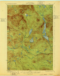
1932 · Spencer
USGS Topo · 1:62,500
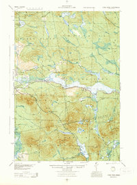
1944 · Long Pond
USGS Topo · 1:62,500
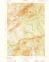
1944 · Pierce Pond
USGS Topo · 1:62,500
Featured Places
- T3 R5 BKP WKR, ME
- Upper Enchanted Township, ME
- Johnson Mountain Township, ME
- Lower Enchanted Township, ME
- Bradstreet Township, ME