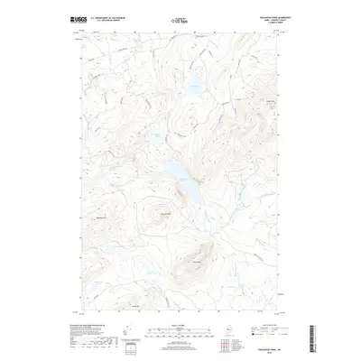
2018 Map of Enchanted Pond
USGS Topo · Published 2018About this map
Enchanted Pond and the surrounding highlands of Somerset County define this interior Maine landscape. The map reveals a network of logging roads and private lanes, such as Bulldog Rd and Larochelle Way, that weave through a topography marked by significant peaks like Coburn Mtn and Shutdown Mtn. This terrain is deeply etched by a complex drainage system, including the Enchanted Stream and E.B. Enchanted Stream, which connect numerous remote water bodies like Grace Pond and McKenney Ponds. The presence of labels like Grace Camps Rd and Shale Pit Rd points to the area's ongoing use for seasonal recreation and timber resource management. Genealogists and local historians can trace family-named landmarks such as Bill Morris Pond and Johns Pond within this managed wilderness.
Find a feature on this map
45 named features on this map. Tap any name to fly to it.
Don’t see what you’re looking for? This feature index may not catch every label — zoom into the map to look around manually.
Map Details
Editions of this 2018 Enchanted Pond Map
This is the sole edition of this map. No revisions or reprints were ever made.
Other maps of this area

1922 · Long Pond
USGS Topo · 1:62,500

1923 · Attean
USGS Topo · 1:62,500

1924 · Long Pond
USGS Topo · 1:62,500

1925 · Pierce Pond
USGS Topo · 1:48,000

1925 · Attean
USGS Topo · 1:62,500

1927 · Pierce Pond
USGS Topo · 1:62,500

1928 · Spencer
USGS Topo · 1:48,000

1932 · Spencer
USGS Topo · 1:62,500

1944 · Long Pond
USGS Topo · 1:62,500

1944 · Pierce Pond
USGS Topo · 1:62,500
Featured Places
- T3 R5 BKP WKR, ME
- Upper Enchanted Township, ME
- Johnson Mountain Township, ME
- Lower Enchanted Township, ME
- Bradstreet Township, ME