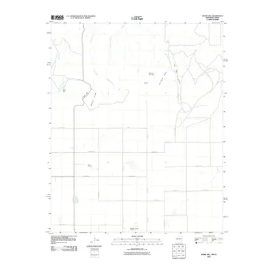
2010 Map of Endee Hill
USGS Topo · Published 2010About this map
Mitchel Cemetery and the small settlement of Purcell mark the landscape in this border region where New Mexico meets Texas. The terrain is defined by dramatic breaks and drainage systems, including Arroyo Trujillo and Arroyo del Puerto which cut through the high plains toward the north. High points like Endee Hill, Round Mountain, and Rusk Hill provide distinct vertical relief against the surrounding grid of section lines and ranch roads. The local aviation and agricultural footprint is noted by the presence of Mitchell Farms Airport near the southern edge. The map captures a sophisticated network of county roads, such as State Line Rd, which follows the political boundary, alongside numerous canyon features like Bob Smith Canyon and Salt Well Canyon that reveal the underlying geology and hydrologic patterns of the Llano Estacado.
Find a feature on this map
29 named features on this map. Tap any name to fly to it.
Don’t see what you’re looking for? This feature index may not catch every label — zoom into the map to look around manually.
Map Details
Editions of this 2010 Endee Hill Map
This is the sole edition of this map. No revisions or reprints were ever made.
Other maps of this area

1954 · Tucumcari
USGS Topo · 1:250,000

1954 · Clovis
USGS Topo · 1:250,000

1958 · Clovis
USGS Topo · 1:250,000

1958 · Tucumcari
USGS Topo · 1:250,000

1966 · Sand Point
USGS Topo · 1:24,000

1968 · Rock Camp
USGS Topo · 1:24,000

1968 · Riley Camp
USGS Topo · 1:24,000

1971 · Mustang Lake
USGS Topo · 1:24,000

1971 · Garcia Lake
USGS Topo · 1:24,000

1971 · Day Canyon
USGS Topo · 1:24,000