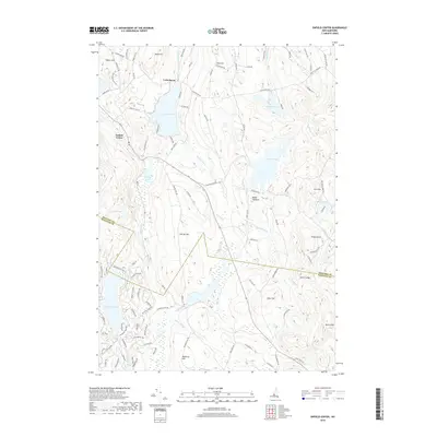
2018 Map of Enfield Center
USGS Topo · Published 2018About this map
Enfield Center and the village of Lockehaven anchor this portion of Grafton County, where the New England landscape is defined by its numerous glacially carved water bodies. The terrain transitions across the Grafton Co Sullivan Co line, characterized by prominent elevations like Shaker Hill and Banks Pinnacle. This 2018 survey reveals a complex network of hydrological features, including the sprawling Grafton Pond and the more secluded Spectacle Pond.
Find a feature on this map
113 named features on this map. Tap any name to fly to it.
Don’t see what you’re looking for? This feature index may not catch every label — zoom into the map to look around manually.
Map Details
Editions of this 2018 Enfield Center Map
This is the sole edition of this map. No revisions or reprints were ever made.
Other maps of this area

1902 · Sunapee
USGS Topo · 1:62,500

1905 · Sunapee
USGS Topo · 1:62,500

1907 · Sunapee
USGS Topo · 1:62,500

1927 · Cardigan
USGS Topo · 1:62,500

1927 · Mascoma
USGS Topo · 1:62,500

1928 · Mount Kearsarge
USGS Topo · 1:62,500

1930 · Cardigan
USGS Topo · 1:62,500

1931 · Mount Kearsarge
USGS Topo · 1:62,500

1932 · Mascoma
USGS Topo · 1:62,500

1949 · Portland
USGS Topo · 1:250,000