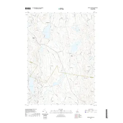
2021 Map of Enfield Center
USGS Topo · Published 2021About this map
Enfield Center and the village of Lockehaven anchor this topographical study of the New Hampshire highlands at the border of Grafton and Sullivan Counties. The landscape is defined by an intricate network of glacial water bodies, from the sprawling Crystal Lake and Grafton Pond to the secluded Cole Pond and Hale Pond. The terrain rises sharply to prominent heights like Banks Pinnacle and Shaker Hill, while the Knox River and various brooks such as Bicknell Brook and Crystal Lake Brook drain the wooded uplands.
Find a feature on this map
53 named features on this map. Tap any name to fly to it.
Don’t see what you’re looking for? This feature index may not catch every label — zoom into the map to look around manually.
Map Details
Editions of this 2021 Enfield Center Map
This is the sole edition of this map. No revisions or reprints were ever made.
Other maps of this area

1902 · Sunapee
USGS Topo · 1:62,500

1905 · Sunapee
USGS Topo · 1:62,500

1907 · Sunapee
USGS Topo · 1:62,500

1927 · Cardigan
USGS Topo · 1:62,500

1927 · Mascoma
USGS Topo · 1:62,500

1928 · Mount Kearsarge
USGS Topo · 1:62,500

1930 · Cardigan
USGS Topo · 1:62,500

1931 · Mount Kearsarge
USGS Topo · 1:62,500

1932 · Mascoma
USGS Topo · 1:62,500

1949 · Portland
USGS Topo · 1:250,000