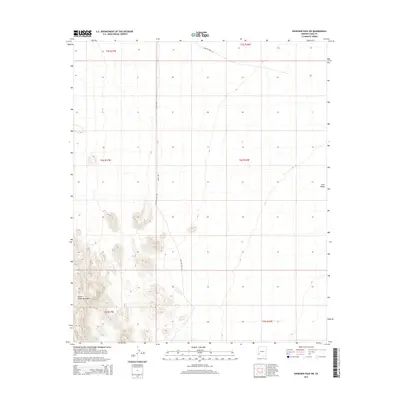
2014 Map of Engesser Pass SW
USGS Topo · Published 2014About this map
The Castle Dome Mountains dominate the southwestern corner of this survey, their peaks rising sharply above the desert floor of the King Valley. This arid landscape is defined by its drainage patterns and the historic routes that traverse it, including the Welton Kofa Rd (also labeled as Wellton Kofa Rd) and Avenue 40E. These tracks represent the primary corridors through this section of the Yuma County desert, connecting remote mining districts and ranching areas to the broader region. The map provides a clear look at the township and range divisions, showing the precise boundaries of T3S through T5S and R16W through R17W as they intersect with the mountain range and the vast, open valley to the east.
Find a feature on this map
11 named features on this map. Tap any name to fly to it.
Don’t see what you’re looking for? This feature index may not catch every label — zoom into the map to look around manually.
Map Details
Editions of this 2014 Engesser Pass SW Map
This is the sole edition of this map. No revisions or reprints were ever made.
Other maps of this area
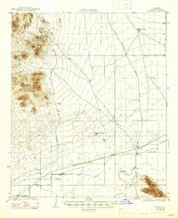
1928 · Norton
USGS Topo · 1:62,500
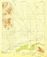
1929 · Norton
USGS Topo · 1:62,500
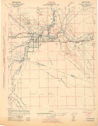
1942 · Yuma
USGS Topo · 1:250,000

1942 · Blythe
USGS Topo · 1:250,000
1942 · Vicksburg
USGS Topo · 1:250,000

1953 · Ajo
USGS Topo · 1:250,000
1954 · El Centro
USGS Topo · 1:250,000

1954 · Salton Sea
USGS Topo · 1:250,000
1954 · Phoenix
USGS Topo · 1:250,000

1955 · Salton Sea
USGS Topo · 1:250,000