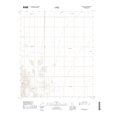
2018 Map of Engesser Pass SW
USGS Topo · Published 2018About this map
Castle Dome Mountains rise sharply in the southwestern corner of this survey, defining a stark landscape where desert peaks meet the broad floor of King Valley. The terrain is characterized by intricate drainage patterns and elevation changes, captured during a 2015 imagery cycle. The Wellton-Kofa Rd serves as the primary artery through this arid expanse, cutting north-to-south through the transition between the mountain foothills and the valley basin. This 2018 edition reflects the modern grid of township and range lines across Yuma County, illustrating how the vast public lands are partitioned across sections like t5s r17w and t4s r16w. The map provides a detailed view of the natural topography in an area where human footprints are largely restricted to the sparse network of desert roads.
Find a feature on this map
9 named features on this map. Tap any name to fly to it.
Don’t see what you’re looking for? This feature index may not catch every label — zoom into the map to look around manually.
Map Details
Editions of this 2018 Engesser Pass SW Map
This is the sole edition of this map. No revisions or reprints were ever made.
Other maps of this area
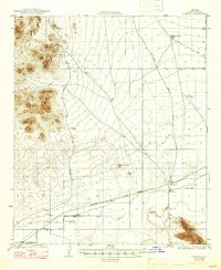
1928 · Norton
USGS Topo · 1:62,500
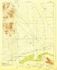
1929 · Norton
USGS Topo · 1:62,500
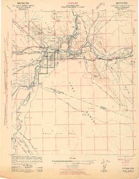
1942 · Yuma
USGS Topo · 1:250,000

1942 · Blythe
USGS Topo · 1:250,000
1942 · Vicksburg
USGS Topo · 1:250,000

1953 · Ajo
USGS Topo · 1:250,000
1954 · El Centro
USGS Topo · 1:250,000

1954 · Salton Sea
USGS Topo · 1:250,000
1954 · Phoenix
USGS Topo · 1:250,000

1955 · Salton Sea
USGS Topo · 1:250,000