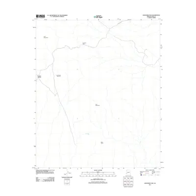
2011 Map of Engesser Pass
USGS Topo · Published 2011About this map
Engesser Pass serves as a critical geographic corridor between the Kofa Mountains and the Tank Mountains in this arid region of Yuma County. The landscape is defined by its dramatic volcanic and tectonic features, with prominent landmarks such as Courthouse Mountain and the distinctively named Black Dome anchoring the terrain. Human presence is concentrated around the remote intersection at Engesser Junction and the utility of Engesser Pass Rd, which provides access through this isolated interior. In such a dry environment, small water collection points like Frenchman Tank were essential markers for survival and travel, reflecting the sparse but strategic infrastructure required to navigate the Sonoran desert during the early twenty-first century.
Find a feature on this map
8 named features on this map. Tap any name to fly to it.
Don’t see what you’re looking for? This feature index may not catch every label — zoom into the map to look around manually.
Map Details
Editions of this 2011 Engesser Pass Map
This is the sole edition of this map. No revisions or reprints were ever made.
Other maps of this area

1942 · Vicksburg
USGS Topo · 1:250,000

1954 · Phoenix
USGS Topo · 1:250,000

1957 · Phoenix
USGS Topo · 1:250,000

1958 · Phoenix
USGS Topo · 1:250,000

1960 · Phoenix
USGS Topo · 1:250,000

1962 · Little Horn Mts
USGS Topo · 1:62,500

1962 · Kofa Butte
USGS Topo · 1:62,500
1965 · Engesser Pass
USGS Topo · 1:62,500
1965 · Palomas Mts
USGS Topo · 1:62,500

1969 · Phoenix
USGS Topo · 1:250,000