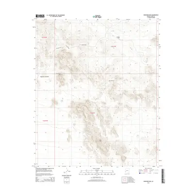
2014 Map of Engesser Pass
USGS Topo · Published 2014About this map
Engesser Junction serves as a lone landmark in this arid stretch of Yuma County, positioned at the convergence of desert routes in the early 21st century. The landscape is defined by the sharp transition between the flat expanse of the Palomas Plain and the complex elevations of the Tank Mountains. Aridity dominates the geography, with water sources like Frenchman Tank appearing as critical, isolated points in an otherwise dry basin.
Find a feature on this map
12 named features on this map. Tap any name to fly to it.
Don’t see what you’re looking for? This feature index may not catch every label — zoom into the map to look around manually.
Map Details
Editions of this 2014 Engesser Pass Map
This is the sole edition of this map. No revisions or reprints were ever made.
Other maps of this area
1942 · Vicksburg
USGS Topo · 1:250,000
1954 · Phoenix
USGS Topo · 1:250,000
1957 · Phoenix
USGS Topo · 1:250,000
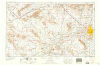
1958 · Phoenix
USGS Topo · 1:250,000
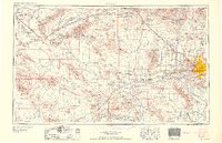
1960 · Phoenix
USGS Topo · 1:250,000
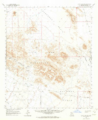
1962 · Little Horn Mts
USGS Topo · 1:62,500
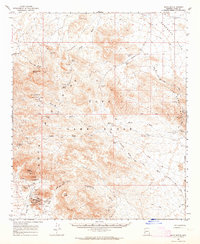
1962 · Kofa Butte
USGS Topo · 1:62,500
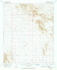
1965 · Engesser Pass
USGS Topo · 1:62,500
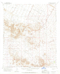
1965 · Palomas Mts
USGS Topo · 1:62,500
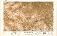
1969 · Phoenix
USGS Topo · 1:250,000