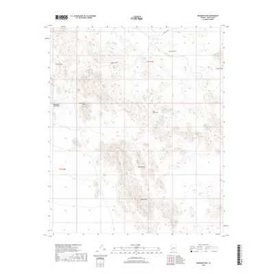
2018 Map of Engesser Pass
USGS Topo · Published 2018About this map
Engesser Junction serves as the primary human landmark in this arid stretch of Yuma County, positioned at the western approach to the mountains. The landscape is defined by the sharp transition between the low-lying Palomas Plain and the complex topography of the Tank Mountains. A critical passage through these heights is provided by Engesser Pass, which facilitates travel through the rugged interior toward the prominent heights of Courthouse Mtn and the southern feature of Black Dome. Engesser Pass Rd offers a glimpse into the sparse but vital infrastructure required to navigate this portion of the Arizona desert. The map captures a moment of modern land management, documenting the section lines and township boundaries of T2S and T3S across the R14W to R16W ranges.
Find a feature on this map
12 named features on this map. Tap any name to fly to it.
Don’t see what you’re looking for? This feature index may not catch every label — zoom into the map to look around manually.
Map Details
Editions of this 2018 Engesser Pass Map
This is the sole edition of this map. No revisions or reprints were ever made.
Other maps of this area
1942 · Vicksburg
USGS Topo · 1:250,000
1954 · Phoenix
USGS Topo · 1:250,000
1957 · Phoenix
USGS Topo · 1:250,000
1958 · Phoenix
USGS Topo · 1:250,000
1960 · Phoenix
USGS Topo · 1:250,000
1962 · Little Horn Mts
USGS Topo · 1:62,500
1962 · Kofa Butte
USGS Topo · 1:62,500
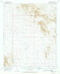
1965 · Engesser Pass
USGS Topo · 1:62,500
1965 · Palomas Mts
USGS Topo · 1:62,500
1969 · Phoenix
USGS Topo · 1:250,000