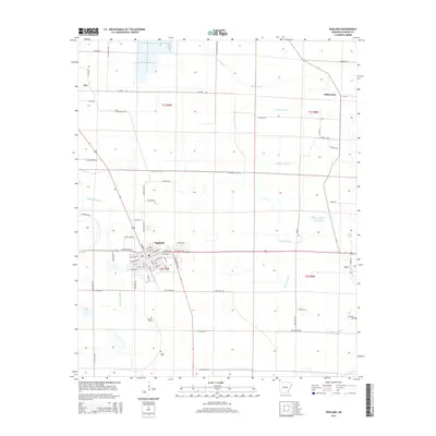
2014 Map of England
USGS Topo · Published 2014About this map
England serves as the central hub for this portion of Lonoke County, showing a well-defined street grid featuring W St John St, Ash St, and Elm St. The surrounding landscape is defined by its drainage network, where Bakers Bayou and Indian Bayou wind through the agricultural sections. To the south, the presence of Mulberry Cem and Nelon Cem provides specific points of interest for genealogists and local historians tracking family histories in the region. The map captures the small settlements of Keo and Coy, which are connected by a web of rural roads such as Central High Rd and Clear Lake Rd. This survey reflects the enduring rural character of the area, where water bodies like Salt Lake and Wabbaseka Bayou have historically influenced the layout of farms and transport routes.
Find a feature on this map
74 named features on this map. Tap any name to fly to it.
Don’t see what you’re looking for? This feature index may not catch every label — zoom into the map to look around manually.
Map Details
Editions of this 2014 England Map
This is the sole edition of this map. No revisions or reprints were ever made.
Other maps of this area
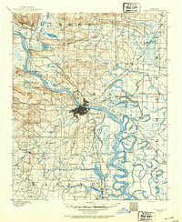
1891 · Little Rock
USGS Topo · 1:125,000
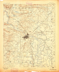
1893 · Little Rock
USGS Topo · 1:125,000
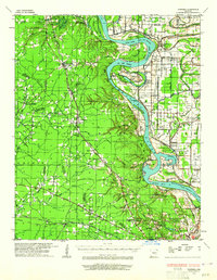
1932 · Pastoria
USGS Topo · 1:62,500
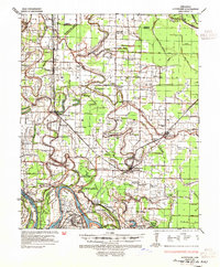
1935 · Altheimer
USGS Topo · 1:62,500
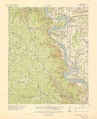
1935 · Pastoria
USGS Topo · 1:62,500
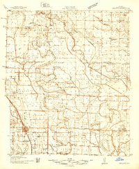
1937 · England
USGS Topo · 1:48,000
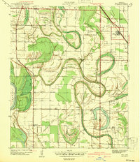
1939 · Keo
USGS Topo · 1:31,680
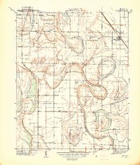
1941 · Keo
USGS Topo · 1:31,680
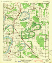
1942 · Scott
USGS Topo · 1:31,680
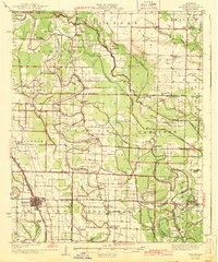
1943 · England
USGS Topo · 1:62,500