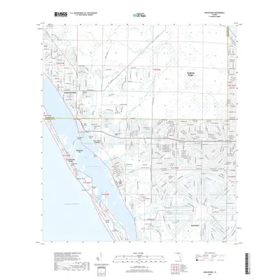
2018 Map of Englewood
USGS Topo · Published 2018About this map
Englewood and the planned community of Rotonda anchor this coastal survey, illustrating the sophisticated water management and residential development patterns of Southwest Florida. The map details the intricate network of artificial waterways that define the Rotonda circle, including the Butterford Waterway and Broadmoor Waterway, which connect to the natural flow of the Rotonda River.
Find a feature on this map
354 named features on this map. Tap any name to fly to it.
Don’t see what you’re looking for? This feature index may not catch every label — zoom into the map to look around manually.
Map Details
Editions of this 2018 Englewood Map
This is the sole edition of this map. No revisions or reprints were ever made.
Other maps of this area

1944 · Myakka River
USGS Topo · 1:31,680

1944 · Venice
USGS Topo · 1:31,680

1956 · Murdock
USGS Topo · 1:24,000

1956 · Englewood
USGS Topo · 1:24,000

1956 · Tampa
USGS Topo · 1:250,000

1956 · Charlotte Harbor
USGS Topo · 1:250,000

1957 · Englewood NW
USGS Topo · 1:24,000

1957 · El Jobean
USGS Topo · 1:24,000

1957 · Punta Gorda SW
USGS Topo · 1:24,000

1957 · Placida
USGS Topo · 1:24,000