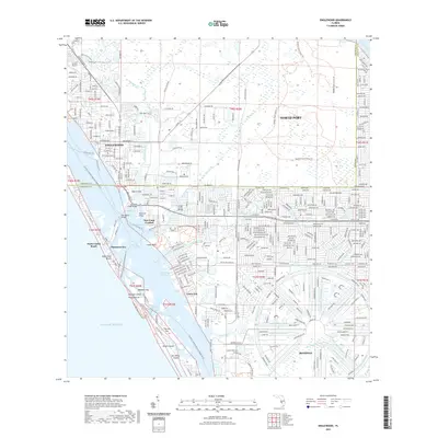
2021 Map of Englewood
USGS Topo · Published 2021About this map
Englewood and North Port are depicted during a period of significant coastal development along the Gulf of Mexico. This survey shows the intricate canal systems of Rotonda, a planned community characterized by its distinctive circular street pattern and waterways like Long Meadow Creek and the Rotunda River. The landscape is a mix of dense residential planning and large preserved areas, including the Myakka State Forest Trl and the Ann Dever Regional Park.
Find a feature on this map
215 named features on this map. Tap any name to fly to it.
Don’t see what you’re looking for? This feature index may not catch every label — zoom into the map to look around manually.
Map Details
Editions of this 2021 Englewood Map
This is the sole edition of this map. No revisions or reprints were ever made.
Other maps of this area

1944 · Myakka River
USGS Topo · 1:31,680

1944 · Venice
USGS Topo · 1:31,680

1956 · Murdock
USGS Topo · 1:24,000

1956 · Englewood
USGS Topo · 1:24,000

1956 · Tampa
USGS Topo · 1:250,000

1956 · Charlotte Harbor
USGS Topo · 1:250,000

1957 · Englewood NW
USGS Topo · 1:24,000

1957 · El Jobean
USGS Topo · 1:24,000

1957 · Punta Gorda SW
USGS Topo · 1:24,000

1957 · Placida
USGS Topo · 1:24,000