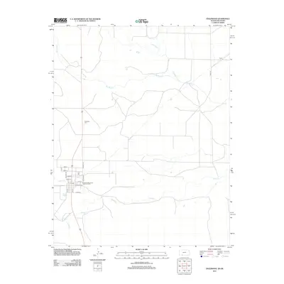
2012 Map of Englewood
USGS Topo · Published 2012About this map
Big Sandy Creek and its many tributaries, including Antelope Creek and Bullard Creek, define the drainage patterns across this borderland landscape between Kansas and Oklahoma. The settlement of Acres sits in the northeast, while the street grid of Englewood dominates the western portion of the map. This grid includes local thoroughfares such as Daggett Ave, Oklahoma St, and Lewis Ave. Near the southern edge of town, infrastructure like the Englewood Wastewater Treatment Facility and the waters of Perry Lake represent the modern footprint of the community. Genealogists and local historians can find the Englewood Cemetery situated north of the main residential center, providing a fixed point for tracing family histories in Clark County.
Find a feature on this map
23 named features on this map. Tap any name to fly to it.
Don’t see what you’re looking for? This feature index may not catch every label — zoom into the map to look around manually.
Map Details
Editions of this 2012 Englewood Map
This is the sole edition of this map. No revisions or reprints were ever made.
Other maps of this area

1892 · Meade
USGS Topo · 1:125,000

1896 · Ashland
USGS Topo · 1:125,000

1954 · Perryton
USGS Topo · 1:250,000

1955 · Woodward
USGS Topo · 1:250,000

1955 · Pratt
USGS Topo · 1:250,000

1955 · Dodge City
USGS Topo · 1:250,000

1958 · Perryton
USGS Topo · 1:250,000

1958 · Woodward
USGS Topo · 1:250,000

1958 · Dodge City
USGS Topo · 1:250,000

1959 · Pratt
USGS Topo · 1:250,000