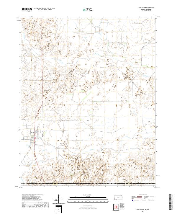
2022 Map of Englewood
USGS Topo · Published 2022About this map
Englewood sits at the southern edge of Clark County, Kansas, serving as a primary hub just north of the state boundary. This area is defined by a dendritic drainage network including Big Sandy Cr and Antelope Cr, which carve through the plains toward the Oklahoma line. The town's grid is clearly delineated by streets such as Hatfield St and Oklahoma St, reflecting its position as a border-adjacent community.
Find a feature on this map
41 named features on this map. Tap any name to fly to it.
Don’t see what you’re looking for? This feature index may not catch every label — zoom into the map to look around manually.
Map Details
Editions of this 2022 Englewood Map
This is the sole edition of this map. No revisions or reprints were ever made.
Other maps of this area

1892 · Meade
USGS Topo · 1:125,000

1896 · Ashland
USGS Topo · 1:125,000

1954 · Perryton
USGS Topo · 1:250,000

1955 · Woodward
USGS Topo · 1:250,000

1955 · Pratt
USGS Topo · 1:250,000

1955 · Dodge City
USGS Topo · 1:250,000

1958 · Perryton
USGS Topo · 1:250,000

1958 · Woodward
USGS Topo · 1:250,000

1958 · Dodge City
USGS Topo · 1:250,000

1959 · Pratt
USGS Topo · 1:250,000