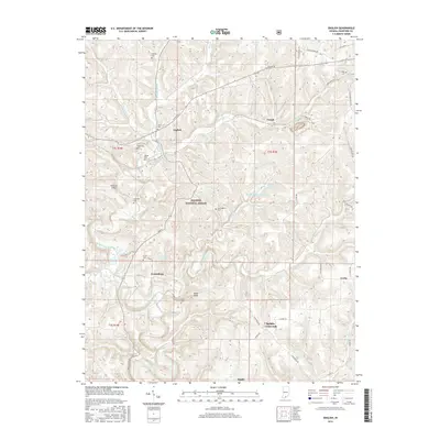
2016 Map of English
USGS Topo · Published 2016About this map
The Little Blue River winds through this section of Crawford County, anchoring a landscape defined by the drainage of Camp Fork Cr and Brushy Cr. The town of English serves as the central hub, surrounded by smaller settlements such as Grantsburg, Temple, and Switzer Crossroads. Significant for family researchers, the map identifies numerous small burial grounds across the hills, including Stewart Cem, Sloan Cem, and Land Cem. The presence of the Hoosier National Forest and the English Reservoir, held by the English Water Supply Dam, highlights the area's transition toward protected lands and water management. Transportation is represented by the local Roberson Airport and the winding course of E State RD 64, which follows the high ground through the central corridor.
Find a feature on this map
58 named features on this map. Tap any name to fly to it.
Don’t see what you’re looking for? This feature index may not catch every label — zoom into the map to look around manually.
Map Details
Editions of this 2016 English Map
This is the sole edition of this map. No revisions or reprints were ever made.
Other maps of this area

1946 · Leavenworth
USGS Topo · 1:24,000

1947 · Leavenworth
USGS Topo · 1:24,000

1947 · Hardinsburg
USGS Topo · 1:24,000

1948 · Milltown
USGS Topo · 1:24,000

1949 · Hardinsburg
USGS Topo · 1:24,000

1950 · Beechwood
USGS Topo · 1:24,000

1950 · Valeene
USGS Topo · 1:24,000

1950 · English
USGS Topo · 1:24,000
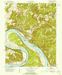
1950 · Leavenworth
USGS Topo · 1:24,000

1950 · Alton
USGS Topo · 1:62,500