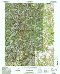
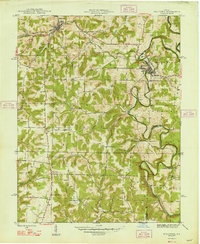
1993 Map of English
USGS Topo · Published 1996About this map
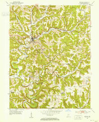
The English settlement serves as a central point in this northern Crawford County landscape, where the Southern railroad line follows the narrow valleys of Dog Creek and Camp Fork. This 1993 revision, based on earlier data, illustrates the complex topography of the Hoosier National Forest and Harrison-Crawford State Forest. The intricate drainage pattern of the Little Blue River and its tributaries, including Brushy Fork, dictates the placement of historic upland settlements and family-named landmarks like Sutton Knob.
Find a feature on this map
35 named features on this map. Tap any name to fly to it.
Don’t see what you’re looking for? This feature index may not catch every label — zoom into the map to look around manually.
Map Details
Editions of this 1993 English Map
This is the sole edition of this map. No revisions or reprints were ever made.
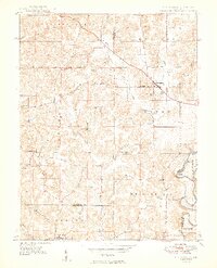
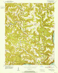
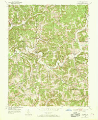
Other maps of this area
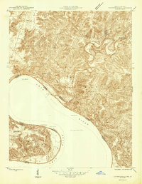
1946 · Leavenworth
USGS Topo · 1:24,000
1947 · Leavenworth
USGS Topo · 1:24,000
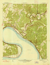
1947 · Hardinsburg
USGS Topo · 1:24,000
1948 · Milltown
USGS Topo · 1:24,000
1949 · Hardinsburg
USGS Topo · 1:24,000
1950 · Beechwood
USGS Topo · 1:24,000
1950 · Valeene
USGS Topo · 1:24,000
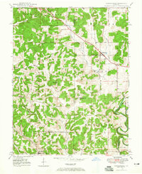
1950 · English
USGS Topo · 1:24,000
1950 · Leavenworth
USGS Topo · 1:24,000
1950 · Alton
USGS Topo · 1:62,500