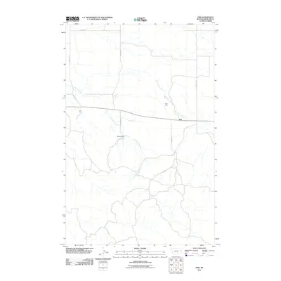
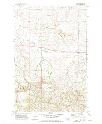
2011 Map of Enid
USGS Topo · Published 2011About this map
The small settlement of Enid serves as the focal point for this section of Richland County, located where the local road network intersects in the expansive Montana landscape. This 2011 survey illustrates a region defined by its water management and drainage patterns, with the East Redwater Creek and West Fork Fox Creek winding through the terrain. The importance of ranching and water conservation in this semi-arid environment is evident through several named infrastructure projects, including Allan Dam, Gus Dam, and Salsbury Dam. A sparse but essential grid of rural routes, such as County Rd 126 and County Rd 319, connects these water features and remote homesteads to the primary east-west thoroughfare passing through the heart of the community.
Find a feature on this map
11 named features on this map. Tap any name to fly to it.
Don’t see what you’re looking for? This feature index may not catch every label — zoom into the map to look around manually.
Map Details
Editions of this 2011 Enid Map
This is the sole edition of this map. No revisions or reprints were ever made.
Other maps of this area
1909 · Glendive
USGS Topo · 1:250,000

1954 · Glendive
USGS Topo · 1:250,000

1957 · Glendive
USGS Topo · 1:250,000
1958 · Glendive
USGS Topo · 1:250,000
1972 · Butler Table
USGS Topo · 1:24,000
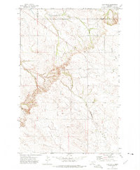
1972 · Clay Butte
USGS Topo · 1:24,000
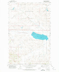
1972 · Fox Lake
USGS Topo · 1:24,000
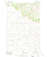
1972 · Enid SE
USGS Topo · 1:24,000
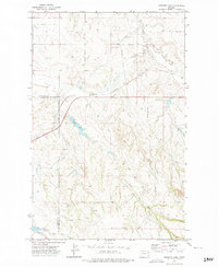
1972 · Kuester Lake
USGS Topo · 1:24,000
1972 · Enid
USGS Topo · 1:24,000