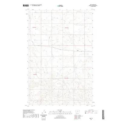
2020 Map of Enid
USGS Topo · Published 2020About this map
Enid anchors this corner of Richland County, positioned along the high ground between two local drainage basins. The landscape is defined by the headwaters of E Redwater Cr and W Fork Fox Cr, where the terrain transitions from broad plateaus to the deeply carved draws typical of this part of eastern Montana. This survey illustrates the systematic division of the land through the Public Land Survey System, with township boundaries like t23n r53e and t23n r54e overlaying the physical topography. A network of county roads, including Co RD 127 and Co RD 317, follows the section lines and ridgelines, providing the primary infrastructure for the sparse ranching and agricultural operations that characterize the region.
Find a feature on this map
12 named features on this map. Tap any name to fly to it.
Don’t see what you’re looking for? This feature index may not catch every label — zoom into the map to look around manually.
Map Details
Editions of this 2020 Enid Map
This is the sole edition of this map. No revisions or reprints were ever made.
Other maps of this area

1909 · Glendive
USGS Topo · 1:250,000

1954 · Glendive
USGS Topo · 1:250,000

1957 · Glendive
USGS Topo · 1:250,000

1958 · Glendive
USGS Topo · 1:250,000

1972 · Butler Table
USGS Topo · 1:24,000

1972 · Clay Butte
USGS Topo · 1:24,000

1972 · Fox Lake
USGS Topo · 1:24,000

1972 · Enid SE
USGS Topo · 1:24,000

1972 · Kuester Lake
USGS Topo · 1:24,000

1972 · Enid
USGS Topo · 1:24,000