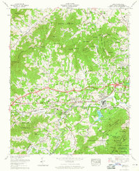
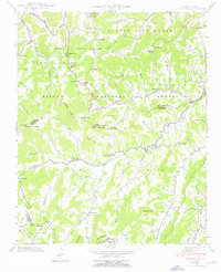
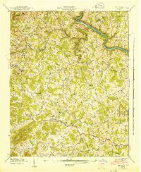
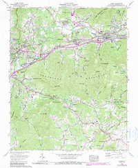
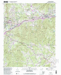
1961 Map of Enka
USGS Topo · Published 1965This historical map portrays the area of Enka in 1961, primarily covering Buncombe County. Featuring a scale of 1:24000, this map provides a highly detailed snapshot of the terrain, roads, buildings, counties, and historical landmarks in the Enka region at the time. Published in 1965, it is one of 4 known editions of this map due to revisions or reprints.
Find a feature on this map
147 named features on this map. Tap any name to fly to it.
Don’t see what you’re looking for? This feature index may not catch every label — zoom into the map to look around manually.
Map Details
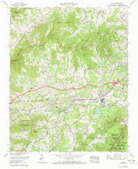
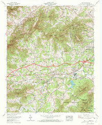
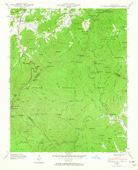
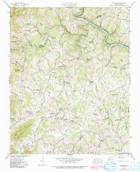
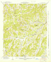
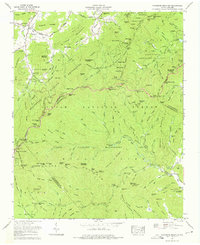
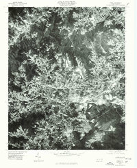
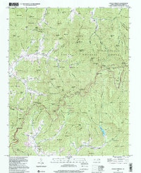
Editions of this 1961 Enka Map
4 editions found
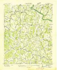
Historical Maps of Newfound Through Time
23 maps found

1935 Craggy Pinnacle
Buncombe County, NC

1936 Dunsmore Mountain
Buncombe County, NC

1936 Enka
Buncombe County, NC
1936 Leicester
Buncombe County, NC

1936 Sandymush
Buncombe County, NC

1941 Enka
Buncombe County, NC
1941 Sandymush
Buncombe County, NC
1942 Dunsmore Mountain
Buncombe County, NC

1942 Enka
Buncombe County, NC
1942 Leicester
Buncombe County, NC
1942 Sandymush
Buncombe County, NC

1943 Dunsmore Mountain
Buncombe County, NC
1943 Leicester
Buncombe County, NC
1946 Craggy Pinnacle
Buncombe County, NC
1947 Craggy Pinnacle
Buncombe County, NC
1961 Enka
Buncombe County, NC
1962 Oteen
Buncombe County, NC
1967 Dunsmore Mountain
Buncombe County, NC
1976 Enka
Buncombe County, NC
1997 Craggy Pinnacle
Buncombe County, NC

1997 Dunsmore Mountain
Buncombe County, NC
1997 Oteen
Buncombe County, NC
1998 Enka
Buncombe County, NC