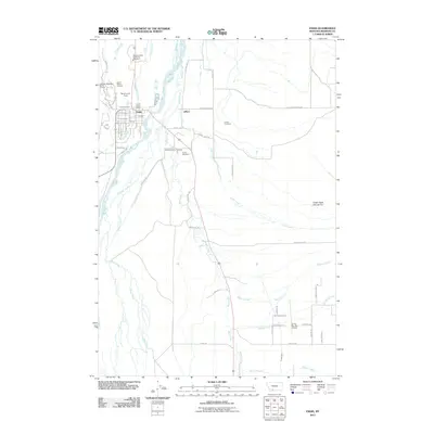
2011 Map of Ennis
USGS Topo · Published 2011About this map
The town of Ennis serves as a hub for Madison Valley in this 2011 survey, situated along the braided courses of the Madison River. This landscape is defined by its complex hydrology, where Fletcher Channel and O'Dell Creek meet the valley floor, alongside the prominent Cedar Creek Alluvial Fan. The settlement pattern reflects both traditional ranching roots and modern recreational growth, with the Ennis Rodeo Grounds and Sportsmans Field located near the town center, while the Ennis-Big Sky Airport to the southeast indicates the region's connection to broader Montana tourism.
Find a feature on this map
62 named features on this map. Tap any name to fly to it.
Don’t see what you’re looking for? This feature index may not catch every label — zoom into the map to look around manually.
Map Details
Editions of this 2011 Ennis Map
This is the sole edition of this map. No revisions or reprints were ever made.
Other maps of this area

1888 · Three Forks
USGS Topo · 1:250,000

1894 · Three Forks
USGS Topo · 1:250,000

1895 · Three Forks
USGS Topo · 1:250,000

1947 · Bozeman
USGS Topo · 1:250,000

1948 · Bozeman
USGS Topo · 1:250,000

1949 · Varney
USGS Topo · 1:62,500

1949 · Ennis
USGS Topo · 1:62,500

1950 · Cameron
USGS Topo · 1:62,500

1950 · Virginia City
USGS Topo · 1:62,500

1955 · Bozeman
USGS Topo · 1:250,000