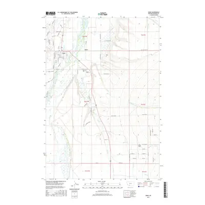
2017 Map of Ennis
USGS Topo · Published 2017About this map
Madison River and its intricate network of side channels and irrigation infrastructure define the landscape surrounding Ennis and Jeffers. This 2017 survey details the complex hydrography of the Madison Valley, tracing the Fletcher Channel and numerous creeks such as O'Dell Cr and Jack Cr. The map provides significant genealogical value, noting the locations of Ennis Cem, Madison Valley Cem, and the more isolated Evans Cem. Irrigation features like Granger Ditch and H Lazy Ditch reflect the region's agricultural foundations, while the Ennis-Big Sky Airport and local street names like Armitage St and Fagin St show the modern development of this Montana community. To the east, the terrain rises toward Elk Valley, highlighting the transition from the river bottom to higher grazing lands.
Find a feature on this map
75 named features on this map. Tap any name to fly to it.
Don’t see what you’re looking for? This feature index may not catch every label — zoom into the map to look around manually.
Map Details
Editions of this 2017 Ennis Map
This is the sole edition of this map. No revisions or reprints were ever made.
Other maps of this area

1888 · Three Forks
USGS Topo · 1:250,000

1894 · Three Forks
USGS Topo · 1:250,000

1895 · Three Forks
USGS Topo · 1:250,000

1947 · Bozeman
USGS Topo · 1:250,000

1948 · Bozeman
USGS Topo · 1:250,000

1949 · Varney
USGS Topo · 1:62,500

1949 · Ennis
USGS Topo · 1:62,500

1950 · Cameron
USGS Topo · 1:62,500

1950 · Virginia City
USGS Topo · 1:62,500

1955 · Bozeman
USGS Topo · 1:250,000