Loading...
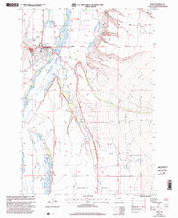
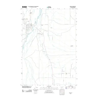
Loading map...1997 Map of Ennis
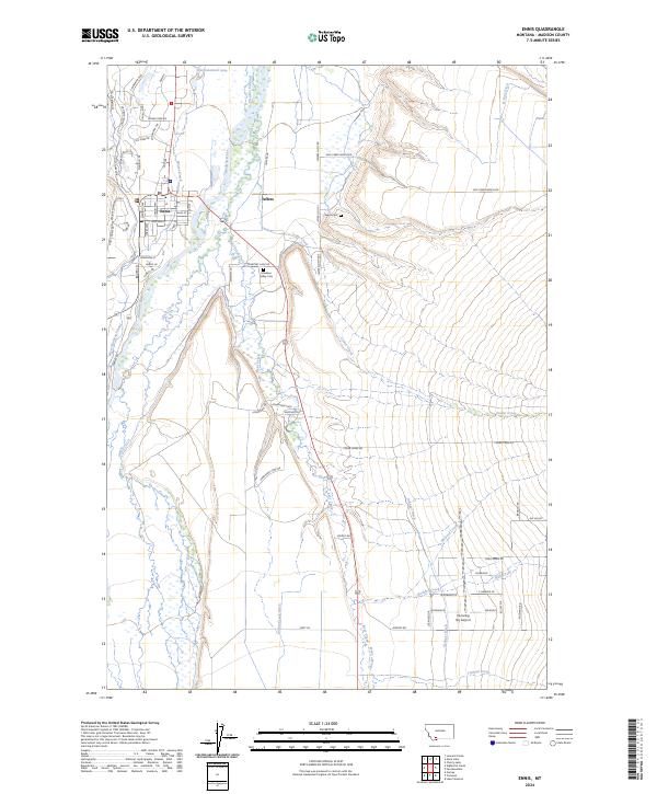
USGS Topo · Published 2002About this map
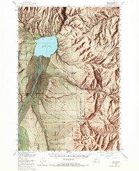
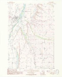
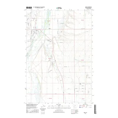
Ennis serves as the focal point of this late-1990s Madison County survey, situated along the braided channels of the Madison River. The settlement displays a well-developed civic infrastructure, featuring the Madison Ranger Sta, a Substa, and a local Rodeo Ground. Just to the east, the smaller community of Jeffers sits near the river's edge, while the surrounding landscape is defined by the massive Alluvial Fan to the east and the elevated Cameron Bench to the south.
Find a feature on this map
31 named features on this map. Tap any name to fly to it.
Don’t see what you’re looking for? This feature index may not catch every label — zoom into the map to look around manually.
Map Details
Date Portrayed1997
Date Published2002
PublisherU.S. Geological Survey
Map TypeTopographic
Scale1:24,000
Physical Dimensions22 x 26.9 inches
Editions of this 1997 Ennis Map
This is the sole edition of this map. No revisions or reprints were ever made.
Historical Maps of Ennis Through Time
9 maps found


Featured Locations
Source Details
SourceU.S. Geological Survey
CopyrightPublic Domain