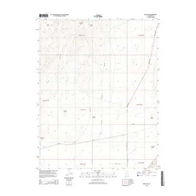
2014 Map of Enoch NE
USGS Topo · Published 2014About this map
Lost Spring and the drainage of Mud Spring Canyon anchor this high desert landscape in southwestern Utah. The terrain is defined by a series of north-south running corridors, including Lost Spring Hollow, Chalk Hollow, and Steer Hollow, which illustrate the natural pathways through this arid basin. Transport through the region follows these topographical lines, most notably along the Minersville Hwy as it cuts across the eastern edge of the quadrangle.
Find a feature on this map
24 named features on this map. Tap any name to fly to it.
Don’t see what you’re looking for? This feature index may not catch every label — zoom into the map to look around manually.
Map Details
Editions of this 2014 Enoch NE Map
This is the sole edition of this map. No revisions or reprints were ever made.
Other maps of this area
1885 · St. George
USGS Topo · 1:250,000
1885 · Beaver
USGS Topo · 1:250,000
1886 · Kanab
USGS Topo · 1:250,000
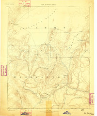
1891 · St. George
USGS Topo · 1:250,000
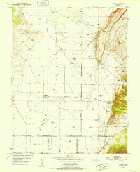
1950 · Enoch
USGS Topo · 1:24,000
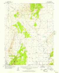
1950 · Enoch
USGS Topo · 1:62,500
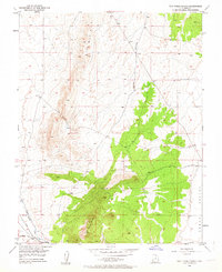
1950 · The Three Peaks
USGS Topo · 1:24,000
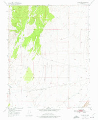
1950 · Enoch NE
USGS Topo · 1:24,000
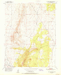
1951 · The Three Peaks
USGS Topo · 1:24,000
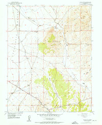
1952 · Enoch NW
USGS Topo · 1:24,000