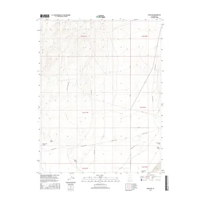
2017 Map of Enoch NE
USGS Topo · Published 2017About this map
Lost Spring and the rugged drainage of Jackrabbit Wash characterize this high-desert landscape in Iron County during the late 2010s. The terrain is defined by a series of deep north-south trending ravines including Chalk Hollow, Mud Spring Canyon, and Steer Hollow, illustrating the complex erosional patterns of the region. The road network is sparse but functional, centered around routes like Horse Hollow Rd and Lost Spring Rd that connect isolated ranching sites. One notable cultural landmark is Endriddy Ranch N, situated near the southern boundary. This 2017 survey reflects the enduring character of southern Utah’s rangeland, where water sources like Long Hollow dictated the location of homesteads and primitive tracks such as Esplin Loop across the varied elevation of the Escalante Valley fringe.
Find a feature on this map
22 named features on this map. Tap any name to fly to it.
Don’t see what you’re looking for? This feature index may not catch every label — zoom into the map to look around manually.
Map Details
Editions of this 2017 Enoch NE Map
This is the sole edition of this map. No revisions or reprints were ever made.
Other maps of this area
1885 · St. George
USGS Topo · 1:250,000
1885 · Beaver
USGS Topo · 1:250,000
1886 · Kanab
USGS Topo · 1:250,000
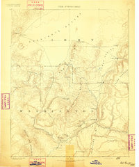
1891 · St. George
USGS Topo · 1:250,000
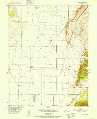
1950 · Enoch
USGS Topo · 1:24,000
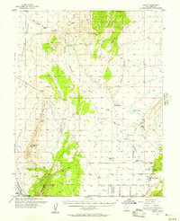
1950 · Enoch
USGS Topo · 1:62,500
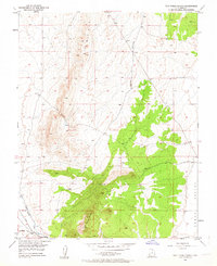
1950 · The Three Peaks
USGS Topo · 1:24,000
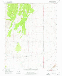
1950 · Enoch NE
USGS Topo · 1:24,000
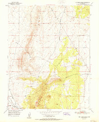
1951 · The Three Peaks
USGS Topo · 1:24,000
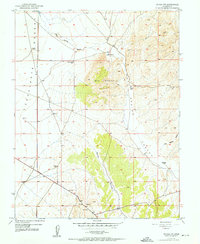
1952 · Enoch NW
USGS Topo · 1:24,000