
1950 Map of Enoch NE
USGS Topo · Published 1976About this map
Spring Hollow and Lost Spring Hollow dominate the northern terrain of this 1950 survey, where seasonal drainage patterns have carved a network of deep ravines through the Iron County landscape. The mapping reflects a period of critical water resource management in the high desert, documenting isolated infrastructure such as a Windmill and scattered Well sites essential for livestock and local use. The Minersville Road serves as the primary north-south artery, cutting a straight path across the flatter eastern reaches of the quadrangle while the western portion remains defined by the rugged topography of Chalk Hollow and Steer Hollow. This topographic study identifies specific natural landmarks like Lost Spring and the descent into Mud Spring Canyon, providing a precise record of the environmental features and early transport routes that dictated movement through this section of southern Utah.
Find a feature on this map
14 named features on this map. Tap any name to fly to it.
Don’t see what you’re looking for? This feature index may not catch every label — zoom into the map to look around manually.
Map Details
Editions of this 1950 Enoch NE Map
This is the sole edition of this map. No revisions or reprints were ever made.
Other maps of this area

1885 · St. George
USGS Topo · 1:250,000

1885 · Beaver
USGS Topo · 1:250,000

1886 · Kanab
USGS Topo · 1:250,000

1891 · St. George
USGS Topo · 1:250,000

1950 · Enoch
USGS Topo · 1:24,000

1950 · Enoch
USGS Topo · 1:62,500

1950 · The Three Peaks
USGS Topo · 1:24,000
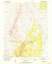
1951 · The Three Peaks
USGS Topo · 1:24,000
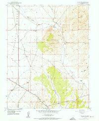
1952 · Enoch NW
USGS Topo · 1:24,000

1952 · Enoch NE
USGS Topo · 1:24,000