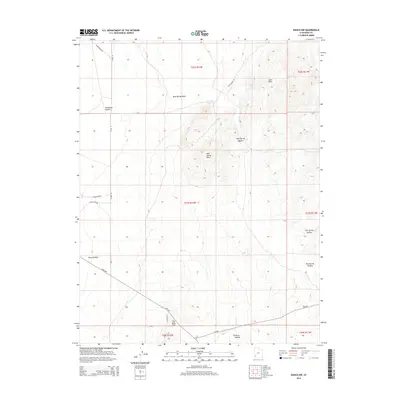
2014 Map of Enoch NW
USGS Topo · Published 2014About this map
The Escalante Desert dominates this arid landscape in Iron County, where water is the primary architect of the terrain. Narrow seasonal drainages like Mud Spring Wash and Jako Wash cut through the high ground, leading toward central features like Mud Spring itself. The topography is defined by the Mud Spring Hills and the southern rise of The Bald Hills, while deep depressions such as Horse Hollow and Lost Spring Hollow provide distinct natural landmarks. Transportation in this part of Utah relies on a network of rural routes, including the Lund Hwy and the lower Gap Rd, which navigate the varying elevations between the hills and the canyon floor. The map illustrates a largely uninhabited expanse where the names reflect early reliance on sparse water sources and topographic navigation.
Find a feature on this map
22 named features on this map. Tap any name to fly to it.
Don’t see what you’re looking for? This feature index may not catch every label — zoom into the map to look around manually.
Map Details
Editions of this 2014 Enoch NW Map
This is the sole edition of this map. No revisions or reprints were ever made.
Other maps of this area
1885 · St. George
USGS Topo · 1:250,000
1891 · St. George
USGS Topo · 1:250,000
1950 · Enoch
USGS Topo · 1:24,000
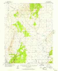
1950 · Enoch
USGS Topo · 1:62,500
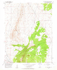
1950 · The Three Peaks
USGS Topo · 1:24,000
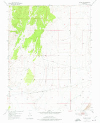
1950 · Enoch NE
USGS Topo · 1:24,000
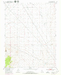
1950 · Avon SE
USGS Topo · 1:24,000
1951 · Avon SE
USGS Topo · 1:24,000
1951 · The Three Peaks
USGS Topo · 1:24,000
1951 · Avon
USGS Topo · 1:24,000