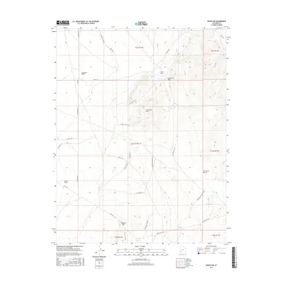
2017 Map of Enoch NW
USGS Topo · Published 2017About this map
The Escalante Desert dominates the western portion of this terrain, transitioning into the elevated topography of the Mud Spring Hills and The Bald Hills to the south. This arid landscape is defined by a network of ranching roads and remote water sources, including the isolated Mud Spring and several seasonal drainages like Jako Wash and Mud Springs Wash. Local infrastructure revolves around traditional corridors such as the Lund Hwy and a series of utilitarian tracks like the Nelson Cutoff and Horse Hollow Rd. A unique point of interest is the S Prarie Dog Town N Sp, reflecting the specific biological markers often recorded in these high-desert surveys. The map provides a precise look at land management through detailed township and range divisions, tracing various cuts and loops that served local grazing and transport needs in the early twenty-first century.
Find a feature on this map
33 named features on this map. Tap any name to fly to it.
Don’t see what you’re looking for? This feature index may not catch every label — zoom into the map to look around manually.
Map Details
Editions of this 2017 Enoch NW Map
This is the sole edition of this map. No revisions or reprints were ever made.
Other maps of this area
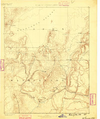
1885 · St. George
USGS Topo · 1:250,000
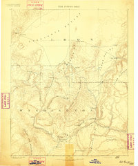
1891 · St. George
USGS Topo · 1:250,000
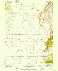
1950 · Enoch
USGS Topo · 1:24,000
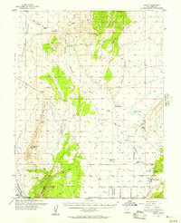
1950 · Enoch
USGS Topo · 1:62,500
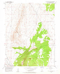
1950 · The Three Peaks
USGS Topo · 1:24,000
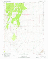
1950 · Enoch NE
USGS Topo · 1:24,000
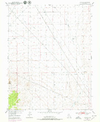
1950 · Avon SE
USGS Topo · 1:24,000
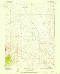
1951 · Avon SE
USGS Topo · 1:24,000
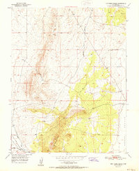
1951 · The Three Peaks
USGS Topo · 1:24,000
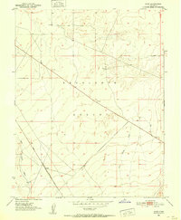
1951 · Avon
USGS Topo · 1:24,000