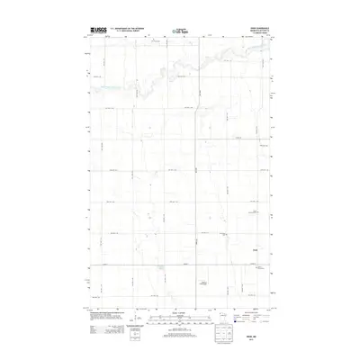
2013 Map of Enok
USGS Topo · Published 2013About this map
Enok and its surrounding agricultural landscape are defined by a strictly surveyed grid of township and county roads in this Kittson County region. The community is tied to its local heritage through numerous burial sites that punctuate the prairie, including Jupiter Community Cem, Jupiter Mission Cem, and W Emmaus Cem. These sites, along with the Johansson Cem to the north, offer valuable data for genealogists tracing early families in the Red River Valley hinterlands. The natural drainage of the South Branch Two Rivers meanders across the northern portion of the map, contrasting with the man-made precision of Anderson Field Airport and the nearby Lake Wold. The dense network of township roads, such as TWP HWY T-105 and TWP HWY T-84, illustrates the intensive land use of this rural Minnesota corner.
Find a feature on this map
34 named features on this map. Tap any name to fly to it.
Don’t see what you’re looking for? This feature index may not catch every label — zoom into the map to look around manually.
Map Details
Editions of this 2013 Enok Map
This is the sole edition of this map. No revisions or reprints were ever made.
Other maps of this area

1918 · Hemmington
USGS Topo · 1:62,500

1939 · Kennedy
USGS Topo · 1:62,500

1941 · Kennedy
USGS Topo · 1:62,500

1941 · Hallock
USGS Topo · 1:62,500

1952 · Thief River Falls
USGS Topo · 1:250,000

1956 · Thief River Falls
USGS Topo · 1:250,000

1956 · Karlstad
USGS Topo · 1:62,500

1957 · Thief River Falls
USGS Topo · 1:250,000
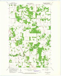
1966 · Skull Lake SW
USGS Topo · 1:24,000

1967 · Thief River Falls
USGS Topo · 1:250,000