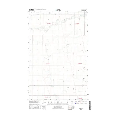
2016 Map of Enok
USGS Topo · Published 2016About this map
The South Branch Two Rivers meanders across this northern Minnesota landscape, defining the topography of Kittson County. The small settlement of Enok serves as the focal point for a rural community characterized by an expansive grid of county roads and section lines. Genealogists will find significant value in the distribution of local burial grounds, including the Two Rivers Cem in the north and the cluster of Jupiter Community Cem and Jupiter Mission Cem to the south. The terrain is notably flat, dotted with small wetlands and water features such as Lake Wold, while local aviation is represented by Anderson Field. The map meticulously records the intersection of agricultural land and early 21st-century infrastructure, marking the transitions between townships such as t161n r47w and t160n r48w.
Find a feature on this map
26 named features on this map. Tap any name to fly to it.
Don’t see what you’re looking for? This feature index may not catch every label — zoom into the map to look around manually.
Map Details
Editions of this 2016 Enok Map
This is the sole edition of this map. No revisions or reprints were ever made.
Other maps of this area
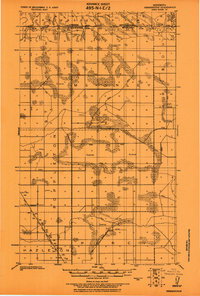
1918 · Hemmington
USGS Topo · 1:62,500
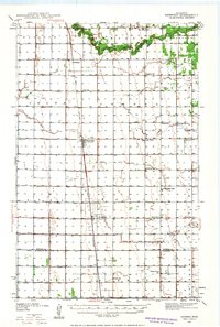
1939 · Kennedy
USGS Topo · 1:62,500
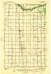
1941 · Kennedy
USGS Topo · 1:62,500
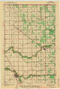
1941 · Hallock
USGS Topo · 1:62,500

1952 · Thief River Falls
USGS Topo · 1:250,000

1956 · Thief River Falls
USGS Topo · 1:250,000
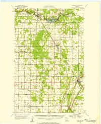
1956 · Karlstad
USGS Topo · 1:62,500

1957 · Thief River Falls
USGS Topo · 1:250,000
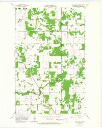
1966 · Skull Lake SW
USGS Topo · 1:24,000
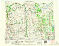
1967 · Thief River Falls
USGS Topo · 1:250,000