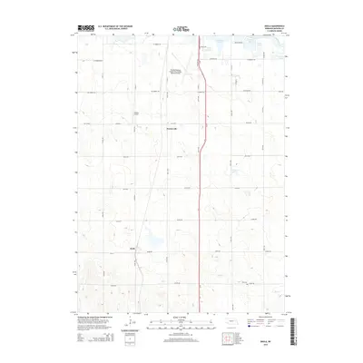
2014 Map of Enola
USGS Topo · Published 2014About this map
Enola and Warnerville anchor this rural Madison County landscape, where the agricultural grid is interrupted by the winding course of the Elkhorn River and various prairie lakes. The northern portion of the quadrangle is defined by significant regional infrastructure, notably the Norfolk Regional Airport/Karl Stefan Memorial Field and the smaller Simpson Airport. These aviation hubs sit just west of the Us-81 corridor, which serves as the primary north-south artery through the township.
Find a feature on this map
50 named features on this map. Tap any name to fly to it.
Don’t see what you’re looking for? This feature index may not catch every label — zoom into the map to look around manually.
Map Details
Editions of this 2014 Enola Map
This is the sole edition of this map. No revisions or reprints were ever made.
Other maps of this area

1955 · Sioux City
USGS Topo · 1:250,000

1955 · Fremont
USGS Topo · 1:250,000

1957 · Fremont
USGS Topo · 1:250,000

1958 · Sioux City
USGS Topo · 1:250,000

1958 · Fremont
USGS Topo · 1:250,000

1959 · Sioux City
USGS Topo · 1:250,000

1963 · Madison
USGS Topo · 1:24,000

1963 · Hoskins
USGS Topo · 1:24,000

1963 · Madison SE
USGS Topo · 1:24,000

1963 · Battle Creek
USGS Topo · 1:24,000