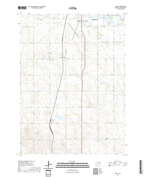
2021 Map of Enola
USGS Topo · Published 2021About this map
Warnerville and the smaller settlement of Enola anchor this Madison County landscape, where the agricultural grid meets the southern reaches of Norfolk. This 2021 study documents a region characterized by its water features, including Medelmans Lake, Ueckers Lake, and several smaller basins like Pofahl Lake and Lehman Lake that populate the northeastern quadrant. The presence of Sand Cr and the Elkhorn River indicates the drainage patterns that have shaped local farming and development since the early homesteading era.
Find a feature on this map
46 named features on this map. Tap any name to fly to it.
Don’t see what you’re looking for? This feature index may not catch every label — zoom into the map to look around manually.
Map Details
Editions of this 2021 Enola Map
This is the sole edition of this map. No revisions or reprints were ever made.
Other maps of this area

1955 · Sioux City
USGS Topo · 1:250,000

1955 · Fremont
USGS Topo · 1:250,000

1957 · Fremont
USGS Topo · 1:250,000

1958 · Sioux City
USGS Topo · 1:250,000

1958 · Fremont
USGS Topo · 1:250,000

1959 · Sioux City
USGS Topo · 1:250,000

1963 · Madison
USGS Topo · 1:24,000

1963 · Hoskins
USGS Topo · 1:24,000

1963 · Madison SE
USGS Topo · 1:24,000

1963 · Battle Creek
USGS Topo · 1:24,000