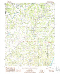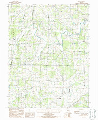
1987 Map of Enon
USGS Topo · Published 1988About this map
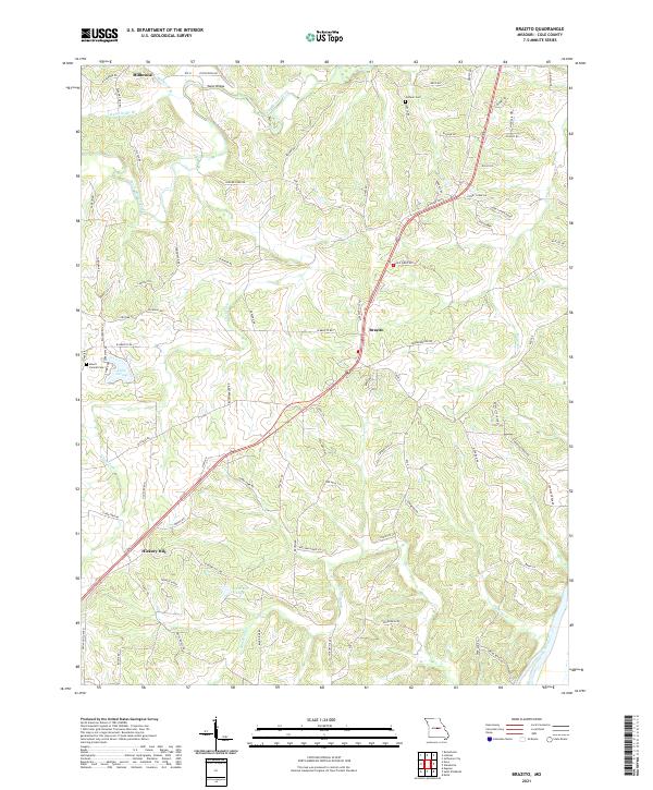
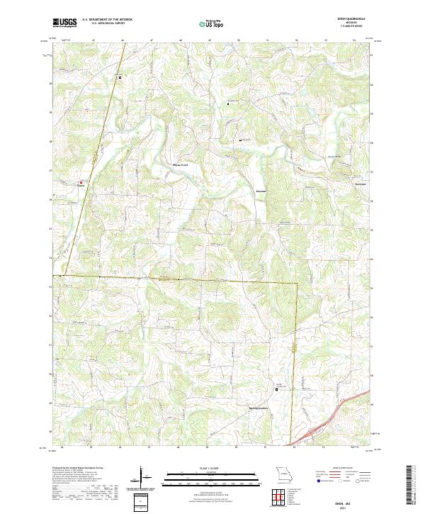
Russellville and Enon anchor the northern and western reaches of this mid-Missouri landscape, which is defined by the winding drainages of Burris Fork and the Moreau Creek system. The map captures the area's rural character and transportation evolution, most notably tracing the path of an Old Railroad Grade that cuts through the topography near Morgan. This corridor, along with local crossings like McCann Bridge and Campbell Ford, reflects the historical movement patterns of the agricultural and small-town communities in Cole, Miller, and Moniteau Counties.
Find a feature on this map
26 named features on this map. Tap any name to fly to it.
Don’t see what you’re looking for? This feature index may not catch every label — zoom into the map to look around manually.
Map Details
Editions of this 1987 Enon Map
This is the sole edition of this map. No revisions or reprints were ever made.
Historical Maps of Decatur Through Time
10 maps found