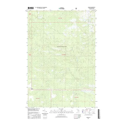
2017 Map of Ensign
USGS Topo · Published 2017About this map
Hiawatha National Forest blankets this Upper Peninsula landscape, where a complex network of waterways defines the territory near the settlement of Ensign. The drainage patterns are particularly intricate here, featuring the Ogontz River and its various branches, including the W Br Ogontz River and E Br Ogontz River. These streams flow through a mix of woodland and wetland environments like Malman Marsh, reflecting the characteristic geography of Delta County. For those researching local families or pioneer history, the presence of the Ogontz Cem and Johnston Cem provides specific points of interest. Smaller bodies of water such as Peterson Lake, Ramsey Lake, and the Lost Lakes are scattered across the northern sections, illustrating the glacial legacy of the region.
Find a feature on this map
21 named features on this map. Tap any name to fly to it.
Don’t see what you’re looking for? This feature index may not catch every label — zoom into the map to look around manually.
Map Details
Editions of this 2017 Ensign Map
This is the sole edition of this map. No revisions or reprints were ever made.
Other maps of this area
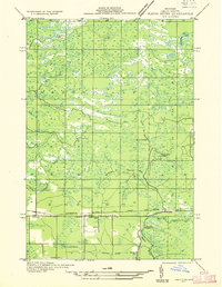
1932 · Rapid River NE
USGS Topo · 1:31,680
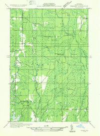
1932 · Trenary SW
USGS Topo · 1:31,680
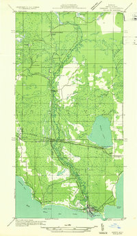
1932 · Garden NW and SW
USGS Topo · 1:31,680
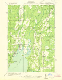
1932 · Rapid River NW
USGS Topo · 1:31,680
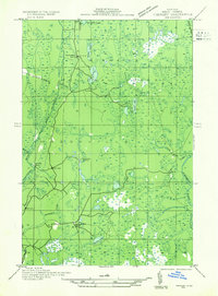
1932 · Trenary SE
USGS Topo · 1:31,680
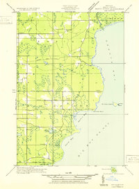
1932 · Rapid River SE
USGS Topo · 1:31,680
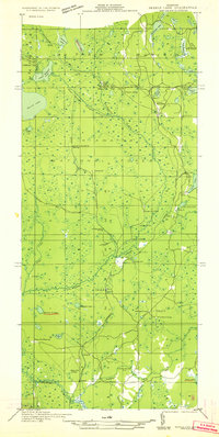
1932 · Skeels Lake NW and SW
USGS Topo · 1:31,680
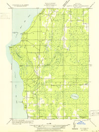
1932 · Rapid River SW
USGS Topo · 1:31,680
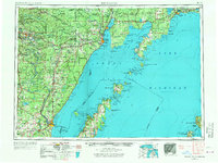
1954 · Escanaba
USGS Topo · 1:250,000
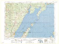
1957 · Escanaba
USGS Topo · 1:250,000