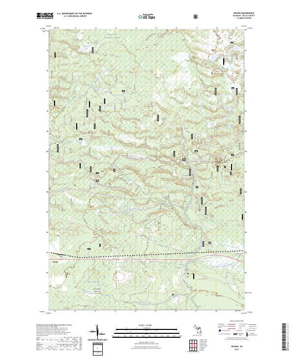
2023 Map of Ensign
USGS Topo · Published 2023About this map
The Hiawatha National Forest dominates this section of Delta County, where dense woodlands and extensive wetlands define the upper Stonington Peninsula. The landscape is heavily influenced by the drainage patterns of the Ogontz River and its multiple branches, alongside the Millman Marsh. Small pockets of early settlement history remain visible through the presence of the Johnston Cem and Ogontz Cem, suggesting the locations of family homesteads or small communities that once established themselves in these timberlands. The settlement of Ensign stands as a focal point in the southwest, while modern recreational use is highlighted by the Big Bay De Noc Snomo Trl, which traverses the forest. This survey provides a clear view of the hydrological network, including Bills Creek and Johnston Creek, in an area defined by its relationship with the Big Bay de Noc.
Find a feature on this map
22 named features on this map. Tap any name to fly to it.
Don’t see what you’re looking for? This feature index may not catch every label — zoom into the map to look around manually.
Map Details
Editions of this 2023 Ensign Map
This is the sole edition of this map. No revisions or reprints were ever made.
Other maps of this area

1932 · Rapid River NE
USGS Topo · 1:31,680

1932 · Trenary SW
USGS Topo · 1:31,680

1932 · Garden NW and SW
USGS Topo · 1:31,680

1932 · Rapid River NW
USGS Topo · 1:31,680

1932 · Trenary SE
USGS Topo · 1:31,680

1932 · Rapid River SE
USGS Topo · 1:31,680

1932 · Skeels Lake NW and SW
USGS Topo · 1:31,680

1932 · Rapid River SW
USGS Topo · 1:31,680

1954 · Escanaba
USGS Topo · 1:250,000

1957 · Escanaba
USGS Topo · 1:250,000