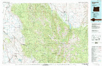
1986 Map of Enterprise
USGS Topo · Published 1987About this map
Grande Ronde Valley serves as a stark geographical anchor for this mid-1980s landscape, where the flat agricultural lowlands of Imbler, Alicel, and Cove meet the abrupt rise of the Wallowa Mountains. The map reveals a complex network of resource management and recreation, dominated by the Wallowa-Whitman National Forest and the vast Eagle Cap Wilderness. Movement across the terrain is dictated by deep river canyons, with the Grande Ronde River and Wallowa River carving paths through the high country.
Find a feature on this map
41 named features on this map. Tap any name to fly to it.
Don’t see what you’re looking for? This feature index may not catch every label — zoom into the map to look around manually.
Map Details
Editions of this 1986 Enterprise Map
This is the sole edition of this map. No revisions or reprints were ever made.
Other maps of this area
1901 · Baker City
USGS Topo · 1:125,000
1901 · Sumpter
USGS Topo · 1:125,000
1906 · Telocaset
USGS Topo · 1:125,000
1915 · Pine
USGS Topo · 1:125,000
1953 · Pendleton
USGS Topo · 1:250,000
1954 · Cornucopia
USGS Topo · 1:62,500
1954 · Imnaha
USGS Topo · 1:62,500
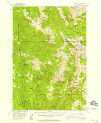
1954 · Eagle Cap
USGS Topo · 1:62,500
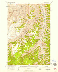
1954 · Harl Butte
USGS Topo · 1:62,500
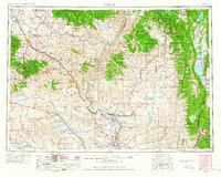
1955 · Baker
USGS Topo · 1:250,000