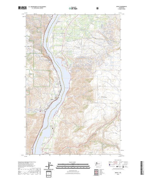
2023 Map of Entiat
USGS Topo · Published 2023About this map
The Columbia River serves as the central artery of this region, separating the steep terrain of the Wenatchee National Forest from the high, open expanse of the Waterville Plateau. The river itself is widened here into Lake Entiat, a reservoir created by downstream hydro-electric development. Along the western bank, the town of Entiat sits at the confluence with the Entiat River, where the Entiat Valley provides a corridor through the mountains.
Find a feature on this map
55 named features on this map. Tap any name to fly to it.
Don’t see what you’re looking for? This feature index may not catch every label — zoom into the map to look around manually.
Map Details
Editions of this 2023 Entiat Map
This is the sole edition of this map. No revisions or reprints were ever made.
Other maps of this area

1901 · Chelan
USGS Topo · 1:125,000

1957 · Wenatchee
USGS Topo · 1:250,000

1968 · Chelan
USGS Topo · 1:24,000

1968 · Orondo
USGS Topo · 1:24,000

1968 · Waterville
USGS Topo · 1:24,000

1968 · Entiat
USGS Topo · 1:24,000

1968 · Ardenvoir
USGS Topo · 1:24,000

1968 · Baldy Mtn
USGS Topo · 1:24,000
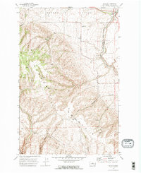
1968 · Douglas
USGS Topo · 1:24,000

1968 · Winesap
USGS Topo · 1:24,000