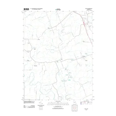
2012 Map of Eolia
USGS Topo · Published 2012About this map
Eolia sits at the northeastern edge of this landscape, where the flat upland terrain begins to break toward the drainage basins of the North Fork Cuivre River and Mill Creek. This 2012 survey illustrates a region defined by its rural character and genealogical anchors, such as the Lewis-Meriwether Cemetery and Tinsley Cemetery. The landscape is physically divided by the topographic rise of Pea Ridge, which separates the northern creeks from the southern wildlife areas.
Find a feature on this map
76 named features on this map. Tap any name to fly to it.
Don’t see what you’re looking for? This feature index may not catch every label — zoom into the map to look around manually.
Map Details
Editions of this 2012 Eolia Map
This is the sole edition of this map. No revisions or reprints were ever made.
Other maps of this area

1890 · Louisiana
USGS Topo · 1:125,000

1930 · Nebo
USGS Topo · 1:62,500

1934 · Nebo
USGS Topo · 1:48,000

1934 · Elsberry
USGS Topo · 1:48,000

1937 · Silex
USGS Topo · 1:62,500

1937 · Bowling Green
USGS Topo · 1:62,500

1939 · Silex
USGS Topo · 1:48,000

1940 · Bowling Green
USGS Topo · 1:62,500

1942 · Nebo
USGS Topo · 1:62,500

1942 · Elsberry
USGS Topo · 1:62,500