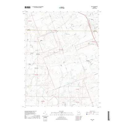
2017 Map of Eolia
USGS Topo · Published 2017About this map
The Pike and Lincoln County line bisects this Missouri landscape, where the agriculture of Pea Ridge meets a complex network of creeks and small lakes. Central to the topography is the Sandy Creek Natural Bridge, a rare geological formation located just west of the Hobart area. To the south, the William Logan State Wildlife Area manages a series of numbered water bodies, including Number One Lake and Number Two Lake, as they drain toward the North Fork Cuivre River. Small rural settlements like Eolia, Whiteside, and Hopkinsville are connected by a web of county roads and state highways. For genealogists, the map is particularly rich in family burial sites, documenting the Lewis-Meriwether Cem, Tinsley Cem, and several others that anchor the history of these farming communities.
Find a feature on this map
97 named features on this map. Tap any name to fly to it.
Don’t see what you’re looking for? This feature index may not catch every label — zoom into the map to look around manually.
Map Details
Editions of this 2017 Eolia Map
This is the sole edition of this map. No revisions or reprints were ever made.
Other maps of this area
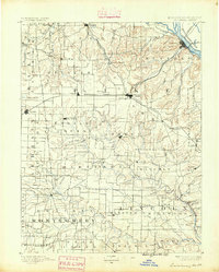
1890 · Louisiana
USGS Topo · 1:125,000
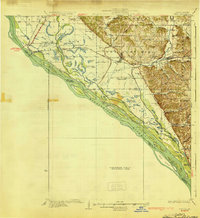
1930 · Nebo
USGS Topo · 1:62,500
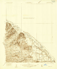
1934 · Nebo
USGS Topo · 1:48,000
1934 · Elsberry
USGS Topo · 1:48,000
1937 · Silex
USGS Topo · 1:62,500
1937 · Bowling Green
USGS Topo · 1:62,500
1939 · Silex
USGS Topo · 1:48,000
1940 · Bowling Green
USGS Topo · 1:62,500
1942 · Nebo
USGS Topo · 1:62,500
1942 · Elsberry
USGS Topo · 1:62,500