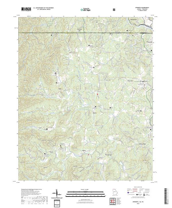
2024 Map of Epworth
USGS Topo · Published 2024About this map
Fightingtown Creek and the Toccoa River anchor this mountain landscape along the Tennessee and Georgia border. The northern edge highlights the industrial and civic hubs of Copperhill and McCaysville, where the state line bisects the community. The surrounding terrain is heavily influenced by the Chattahoochee National Forest and Cherokee National Forest, with a network of ridge roads like Wolf Ridge and John's Ridge Rd connecting small settlements such as Epworth, Higdon, and Colwell.
Find a feature on this map
219 named features on this map. Tap any name to fly to it.
Don’t see what you’re looking for? This feature index may not catch every label — zoom into the map to look around manually.
Map Details
Editions of this 2024 Epworth Map
This is the sole edition of this map. No revisions or reprints were ever made.
Other maps of this area

1886 · Dalton
USGS Topo · 1:125,000

1886 · Cleveland
USGS Topo · 1:125,000

1888 · Ellijay
USGS Topo · 1:125,000

1892 · Cleveland
USGS Topo · 1:125,000

1892 · Ellijay
USGS Topo · 1:125,000

1892 · Dalton
USGS Topo · 1:125,000

1893 · Murphy
USGS Topo · 1:125,000

1895 · Cleveland
USGS Topo · 1:125,000

1897 · Dalton
USGS Topo · 1:125,000

1898 · Ellijay
USGS Topo · 1:125,000