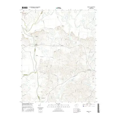
2016 Map of Equality
USGS Topo · Published 2016About this map
Green River and Rough River dominate this western Kentucky landscape, defining the complex border between McLean, Ohio, and Muhlenberg counties. The topography is marked by broad bottomlands and the winding Thorofare Br, with the settlement of Livermore situated at the northern confluence. Further south, the map reveals a history of rural community life and industry, with several family cemeteries such as Patterson Cem and Linly Cem scattered near the road junctions of Matanzas and Point Pleasant. The presence of the Peabody Haul Rd and various unnamed haul roads indicates the area's connection to the regional coal mining industry, while established centers like Centertown and Smallhous anchor the local road network. Smaller hamlets like Kirtley and Cave Hill are interconnected by a system of country lanes, preserving a record of residential patterns as they existed in the mid-2010s.
Find a feature on this map
62 named features on this map. Tap any name to fly to it.
Don’t see what you’re looking for? This feature index may not catch every label — zoom into the map to look around manually.
Map Details
Editions of this 2016 Equality Map
This is the sole edition of this map. No revisions or reprints were ever made.
Other maps of this area
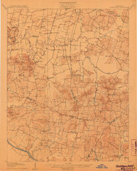
1906 · Sutherland
USGS Topo · 1:62,500
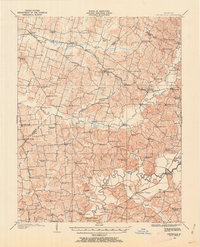
1907 · Whitesville
USGS Topo · 1:62,500
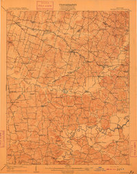
1909 · Whitesville
USGS Topo · 1:62,500
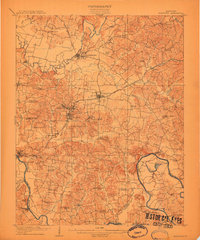
1909 · Hartford
USGS Topo · 1:62,500
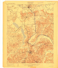
1909 · Central City
USGS Topo · 1:62,500
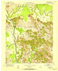
1952 · Equality
USGS Topo · 1:24,000
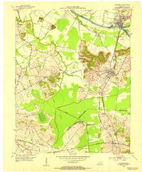
1952 · Livermore
USGS Topo · 1:24,000
1953 · Central City West
USGS Topo · 1:24,000
1953 · Central City East
USGS Topo · 1:24,000
1953 · Utica
USGS Topo · 1:24,000