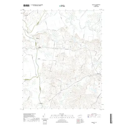
2019 Map of Equality
USGS Topo · Published 2019About this map
The confluence of the Rough River and Green River anchors this landscape at the junction of McLean, Ohio, and Muhlenberg counties. Small agrarian and river-oriented settlements like Point Pleasant, Matanzas, and Equality are scattered across the terrain, connected by a network of winding roads including Knots Ferry Loop and Carter Ferry Rd. The map is particularly useful for genealogical research, identifying numerous family burial grounds such as Tichnor Cem, Patterson Cem, and Linly Cem.
Find a feature on this map
68 named features on this map. Tap any name to fly to it.
Don’t see what you’re looking for? This feature index may not catch every label — zoom into the map to look around manually.
Map Details
Editions of this 2019 Equality Map
This is the sole edition of this map. No revisions or reprints were ever made.
Other maps of this area

1906 · Sutherland
USGS Topo · 1:62,500

1907 · Whitesville
USGS Topo · 1:62,500

1909 · Whitesville
USGS Topo · 1:62,500

1909 · Hartford
USGS Topo · 1:62,500

1909 · Central City
USGS Topo · 1:62,500

1952 · Equality
USGS Topo · 1:24,000

1952 · Livermore
USGS Topo · 1:24,000

1953 · Central City West
USGS Topo · 1:24,000

1953 · Central City East
USGS Topo · 1:24,000

1953 · Utica
USGS Topo · 1:24,000