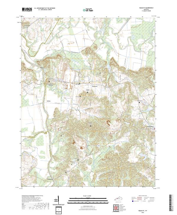
2022 Map of Equality
USGS Topo · Published 2022About this map
The confluence of the Green River and the Rough River anchors this study of the borderlands between McLean, Ohio, and Muhlenberg counties. The terrain is defined by the winding course of the Rough River, which separates the northern settlements of Livermore and Coffman from the central communities of Point Pleasant and Matanzas. A dense network of family and community burial sites, such as the Aunt Jane Tichenor Cem and the Uncle Billie Fulkerson Cem, provides significant genealogical interest, reflecting the long-established rural settlement patterns of the region.
Find a feature on this map
80 named features on this map. Tap any name to fly to it.
Don’t see what you’re looking for? This feature index may not catch every label — zoom into the map to look around manually.
Map Details
Editions of this 2022 Equality Map
This is the sole edition of this map. No revisions or reprints were ever made.
Other maps of this area

1906 · Sutherland
USGS Topo · 1:62,500

1907 · Whitesville
USGS Topo · 1:62,500

1909 · Whitesville
USGS Topo · 1:62,500

1909 · Hartford
USGS Topo · 1:62,500

1909 · Central City
USGS Topo · 1:62,500

1952 · Equality
USGS Topo · 1:24,000

1952 · Livermore
USGS Topo · 1:24,000

1953 · Central City West
USGS Topo · 1:24,000

1953 · Central City East
USGS Topo · 1:24,000

1953 · Utica
USGS Topo · 1:24,000