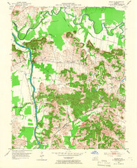
1952 Map of Equality
USGS Topo · Published 1966About this map
The Green River and Rough River converge at the boundary of Ohio, McLean, and Muhlenberg counties, defining a landscape of complex waterways and early industry. This 1952 survey shows the river-dependent infrastructure of the era, including U S Lock No 1 and the Louisville and Nashville railroad corridor that passes through Kronos Sta. The interior terrain is marked by family-named landmarks and rural centers like Equality, Matanzas, and Centertown.
Find a feature on this map
34 named features on this map. Tap any name to fly to it.
Don’t see what you’re looking for? This feature index may not catch every label — zoom into the map to look around manually.
Map Details
Editions of this 1952 Equality Map
3 editions found
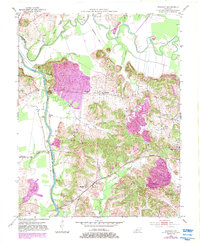
Other maps of this area

1906 · Sutherland
USGS Topo · 1:62,500

1907 · Whitesville
USGS Topo · 1:62,500

1909 · Whitesville
USGS Topo · 1:62,500

1909 · Hartford
USGS Topo · 1:62,500

1909 · Central City
USGS Topo · 1:62,500

1952 · Equality
USGS Topo · 1:24,000

1952 · Livermore
USGS Topo · 1:24,000

1953 · Central City West
USGS Topo · 1:24,000

1953 · Central City East
USGS Topo · 1:24,000

1953 · Utica
USGS Topo · 1:24,000