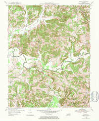
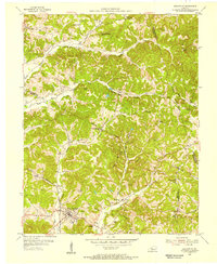
1954 Map of Olaton
USGS Topo · Published 1984About this map
Olaton and the surrounding hill country of Ohio County are defined by a complex network of waterways and the Illinois Central railroad. This mid-century landscape shows a community deeply tied to its geography, with the Rough River carving a winding path through the center of the sheet, crossed by the Barretts Ford Bridge. The distribution of small settlements like Shreve, Huff, and Davidson Sta indicates a rural economy supported by both rail transport and emerging energy extraction, as evidenced by several Oil Wells scattered across the ridges.
Find a feature on this map
40 named features on this map. Tap any name to fly to it.
Don’t see what you’re looking for? This feature index may not catch every label — zoom into the map to look around manually.
Map Details
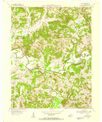
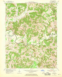
Editions of this 1954 Olaton Map
Other maps of this area

1907 · Whitesville
USGS Topo · 1:62,500

1909 · Whitesville
USGS Topo · 1:62,500

1909 · Hartford
USGS Topo · 1:62,500

1925 · Spring Lick
USGS Topo · 1:62,500

1932 · Fordsville
USGS Topo · 1:62,500

1953 · Dundee
USGS Topo · 1:24,000

1953 · Whitesville
USGS Topo · 1:24,000

1953 · Falls Of Rough
USGS Topo · 1:24,000
1953 · Glen Dean
USGS Topo · 1:24,000
1953 · Fordsville
USGS Topo · 1:24,000