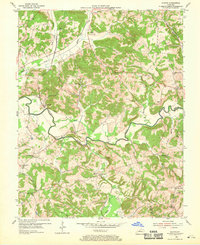
1954 Map of Olaton
USGS Topo · Published 1969About this map
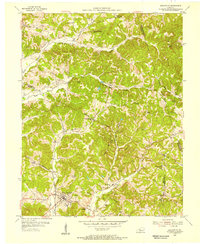
The Illinois Central Railroad threads through the winding valleys of Ohio and Grayson counties, following the course of the Rough River and Caney Creek. This mid-century survey captures a landscape defined by small rural hubs and a network of family-centered landmarks. Small settlements like Olaton, Huff, and Narrows serve as anchors for the surrounding agricultural community. The map is particularly dense with community infrastructure, including numerous country churches such as St Johns Ch and New Baymus Ch, alongside local schools like Payton Sch.
Find a feature on this map
41 named features on this map. Tap any name to fly to it.
Don’t see what you’re looking for? This feature index may not catch every label — zoom into the map to look around manually.
Map Details
Editions of this 1954 Olaton Map
Other maps of this area

1907 · Whitesville
USGS Topo · 1:62,500

1909 · Whitesville
USGS Topo · 1:62,500

1909 · Hartford
USGS Topo · 1:62,500

1925 · Spring Lick
USGS Topo · 1:62,500

1932 · Fordsville
USGS Topo · 1:62,500

1953 · Dundee
USGS Topo · 1:24,000

1953 · Whitesville
USGS Topo · 1:24,000

1953 · Falls Of Rough
USGS Topo · 1:24,000
1953 · Glen Dean
USGS Topo · 1:24,000
1953 · Fordsville
USGS Topo · 1:24,000